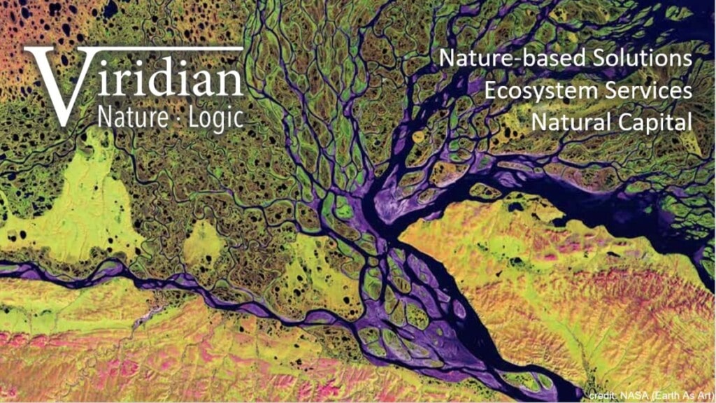
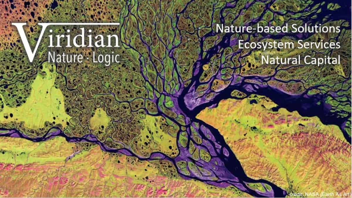
Software to identify solutions to hydrological problems
Problem Addressed
This solution was sourced in response to UKGBC’s Innovation Challenge: “How can communities and local authorities implement, maintain, and assess the impact of nature-based solutions to enhance climate resilience?”
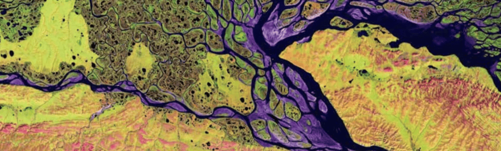
Ecosystem services can be split into two distinct categories: place-based services and water-flow services. Place-based services can be assessed adequately using GIS data overlays and rules, as such benefits accrue where the habitats are located. Water-flow services deliver benefits downstream from the habitats that provide them, so GIS must be blended with hydrological modelling to identify optimal solutions.
Verification & Case Study
Viridian have been using HydroloGIS since 2017 for projects commissioned by government, corporates, charities and farmers. They have had results verified by independent flood modelling from Ambiental, nutrient modelling by APEM and full project review by FloodRE. Results for groundwater flooding have been checked by West Sussex County Council engineers and found to be robust; and results for groundwater recharge verified by the hydrogeologist of a major water utility. These verifications have all shown that HydroloGIS’ optimised locations will deliver substantially better results than those suggested by standard ‘opportunity mapping’.
Viridian are currently involved with a Defra pilot around innovation in flood resilience (the Community SUDS Innovation Accelerator), which will improve the current best practice in monitoring the multiple benefits of NbS. They will apply this learning to other projects.
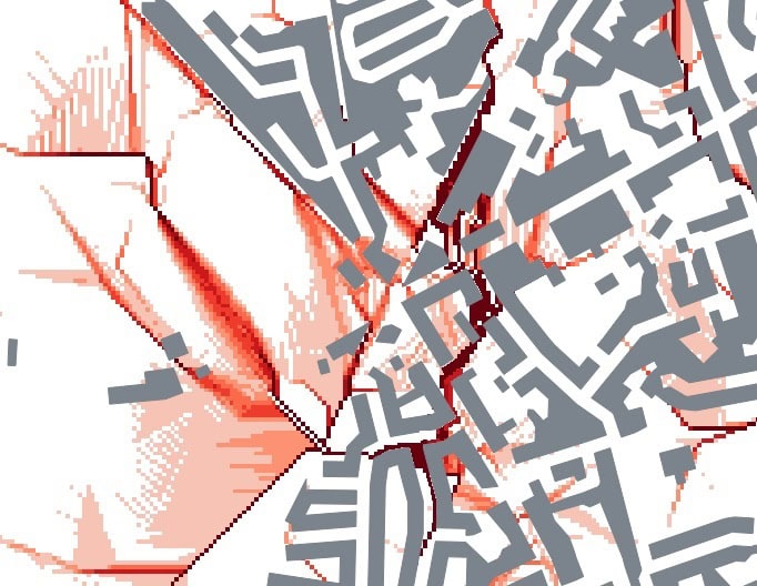
Case Study – H2O:Source2Sea Interreg, Kent Wildlife Trust, 2021:
This covered 2,400km2 of the Stour catchment in Kent and the Authie catchment in northern France. Viridian first sourced all the open-source data needed to run HydroloGIS in both these territories, then modelled the most efficient and effective solutions to a variety of local problems. These included:
- Flooding of local towns and agriculture from pluvial and fluvial sources;
- Diffuse nitrate and phosphate pollution in the rivers;
- Soil being washed into the rivers to cause siltation;
- Potential to capture and store irrigation water;
- Recreation provision and potential; and
- Carbon sequestration.
The client wished all these problems to be solved through natural catchment management, so that they would benefit wildlife and be robust to climate change. Viridian therefore modelled the most effective interventions from the following options:
- Woodland & hedgerow planting;
- Creating meadows (semi-natural grassland);
- Constructing reservoirs or ponds;
- Constructing leaky dams, mid-field swales, and bunds;
- Creating or re-instating wetland;
- Increasing soil infiltration; and
- Reconnecting flood plains.
Viridian used available imagery, maps and modelling to create outline designs for the optimal 10% area covering all of these nature-based solutions. Finally, Viridian calculated a comprehensive range of natural capital metrics, such as volumes of water stored and tonnes of carbon captured. Viridian quantified the associated ecosystem service flows for 40 sub-regions of these two catchments.
Facts and Figures


This page presents data, evidence, and solutions that are provided by our partners and members and should therefore not be attributed to UKGBC. While we showcase these solutions for inspiration, to build consensus, and create momentum for climate action, UKGBC does not offer commercial endorsement of individual solutions. If you would like to quote something from this page, or more information, please contact our Communications team at media@ukgbc.org.
Related
Tool for mapping natural capital assets and ecosystem services


Smart Blue-Green Roof


Tap nozzle for reduced water use

