Site Analysis Tools for BNG
Problem Addressed
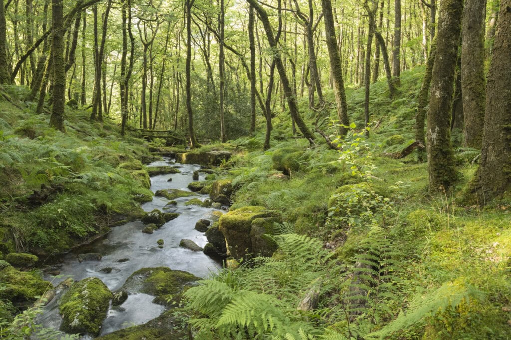
Biodiversity Net Gain (BNG) aims to safeguard and improve the well-being of natural and urban ecosystems in the UK by mitigating against the potential adverse effects of new development; seeking to ensure that the future state of these ecosystems is in a superior condition and quality than their present state. Under the Environment Act 2021, most new development in England is required to deliver a biodiversity uplift of a minimum of 10%, using the Defra biodiversity net gain metric.
Complying with this metric can be a challenge for organisations (particularly small organisations) due to the resources required to ensure compliance, including conducting a competent site survey, filling out the metric correctly and writing compliant plans.
The table below includes information about many of the solutions in this area with information provided by the solution provider. Please click on the company names to see more information about each solution.
| Company name | Joe’s Blooms | One Click LCA | Map Impact | Gentian |
|---|---|---|---|---|
| Large or small sites | Offsites | Large sites | Satellite technology utilised by BiodiversityView is better suited to large scale sites but can be applied anywhere | Large or small sites |
| Target clients | Anyone interested in offering offsite units | Multi-disciplinary consultancies, architects, ecologists | The core target segments consist of developers, local authorities, and landowners. Engineering consultancies and utility companies have a growing need to implement Map Impact’s environmental reporting tools | Developers, LPAs, landowners, BNG marketplaces (for buying and selling off-site units) |
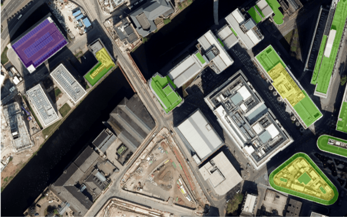
| Input data | User data | No direct import is provided yet. Satellite, GIS, on-site ecologist data and more can be used to generate data | Derived from a variety of sources. Satellite imagery and ancillary habitat layers are validated through on-site ground truthing from ecologists | Very high-resolution imagery (up to 3 years old), GIS layers, AI trained on ecologist data |
| Functionality | Provides an immediate assessment of all possible BNG creation options and possible market value | Simplifies the user interface of the Metric, reduces the number of errors presented by excluding incorrect behaviours, filtering of target habitats for enhancement based on trading rules | Maps over 60 habitats and their condition across England, Scotland, and Wales. An annually updated dataset offers the potential to see change when coupled with historical archived satellite imagery. End-user and decision maker has instant accessibility to objective baseline screening across their areas of interest | Instantly provides an accurate, completely remote BNG habitat mapping assessment, including area habitats, linear features, and biodiversity unit calculations. Can detect the most widespread metric habitats and priority habitats |
| Baseline biodiversity unit suggestions | Yes, the tool creates baseline biodiversity unit suggestions for site | Tool calculates all biodiversity units that the Metric does, though there are no ‘suggestions’ provided yet | Yes, baseline biodiversity units aligning with the DEFRA Metric form part of the technology’s output | Yes, the tool calculates the baseline biodiversity units, but does not suggest new units that can be created |
| Options testing | Yes, the tool allows users to test different BNG options on a site and see the biodiversity units that would be created | Yes, users can add multiple designs to each project and compare the % change in units for each type directly on the results page without needing multiple tabs open | Not at present. BNG scenario planning is being explored as potential future functionality | Yes, the tool is connected to an online platform where users can do ‘scenario planning’ |
| Output format | Data | Currently no export is provided. Looking into a Word report and potentially an Excel spreadsheet | Output type depends on customer needs. Have an API which may interest GIS specialists as well as reports and maps for decision-makers or communities | API is available for client platforms or full end-to-end interactive functionality is available via the Gentian platform. GIS files, PDF maps/reports, and spreadsheets can be downloaded |
| Compliance | All habitats are based on UKHAB classification. Joe’s Blooms has developed the classification tool with UKHAB | Licenced to use UKHAB habitat classification and provide a summary of the definitions for each habitat directly from either UKHAB or EUNIS. Tool does not attempt to identify habitats for users | BiodiversityView is in compliance with UKHAB Habitat Classification. Map impact are a UKHAB partner | Closely follows the biodiversity metric methodology (with some assumptions in condition assessment). Not intended to substitute the need for an ecologist |
| Ecologist involvement | The process makes clear that the actual offsite metric sheet must be provided by an ecologist | Up to the user. An architect / sustainability consultant / ecologist could use the tool with satellite or high-level data for early scoping, but still complete a full assessment with all the required UKHAB data | Delivers a baseline assessment to evaluate and assess land parcels before designating an on-site ecologist to complete a more rigorous site survey | Areas with a low confidence score in the mapping can be used to identify the need for an ecologist |
| Additional features | See further info here: https://www.joesblooms.com/joes-blooms-explore | Not at the moment. Looking for feedback about what kinds of imports/exports would be most beneficial | Developing a BNG tool to show a site’s potential for enhancement. It will show potential for a red-line boundary site in terms of current baseline habitat units, and the potential number of habitat units that could be available if the habitat and condition was deemed ‘optimal’ | To levels of service are available – instant mapping (True Sight) and more detailed, fully up-to-date mapping (True Stage). Further info: https://gentian.io/ |
This page presents data, evidence, and solutions that are provided by our partners and members and should therefore not be attributed to UKGBC. While we showcase these solutions for inspiration, to build consensus, and create momentum for climate action, UKGBC does not offer commercial endorsement of individual solutions. If you would like to quote something from this page, or more information, please contact our Communications team at media@ukgbc.org.
Related
Green Roof Retrofit and Biodiversity Monitoring

Tools to determine the impact of development on nature


Biodiversity Net Gain Tool


Biodiversity net gain actor and resource map

